Hi, I have a minor issue in my Storm of Steel module.
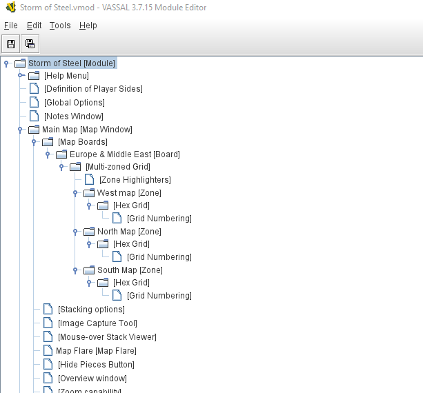
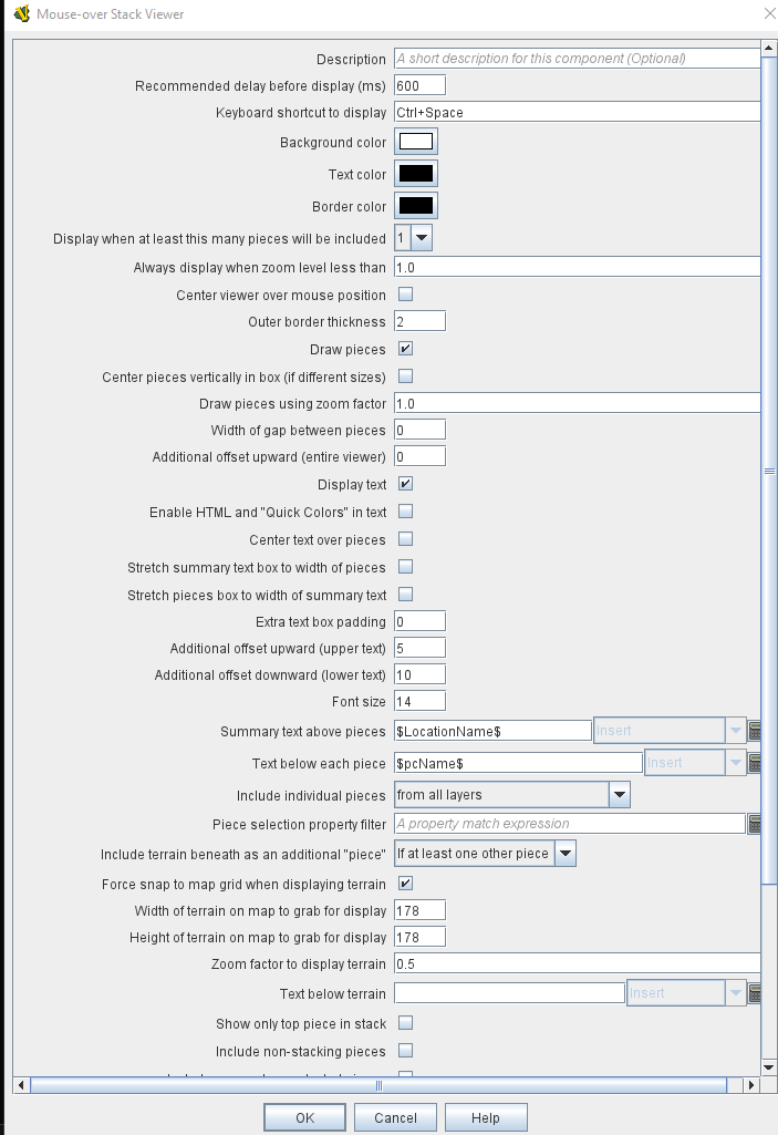
The main playing surface is composed (like the cardboard game) by three separate maps (West, North and Southern Europe) which I joined together in a multi-zoned grid. To each map was assigned its own grid numbering. The problem is that when reviewing units, the Mouse-Over Stack Viewer only displays the map name (for example West Map), not the grid coordinate (i.e. the hex number).
Is there a simple way to solve the issue? Should I add anything to $LocationName$ in the Summary Text Above Piece? Help appreciated.