Can you get the map(s) you want rescanned using a higher resolution? An alternative is to use a high res camera and take pictures, save them as pngs and then use GIMP to stitch them together/crop/whatever.
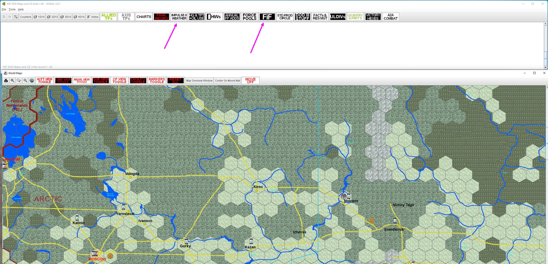
Another possible is to create your own maps, using what you already have as a guide. All those boxes, rules, etc sitting in the MED can be ‘moved’ off the map as separate ‘maps’ accessible using TABs (see attached pic). You could even use a portion of the NASA blue marble pictures (which what I used to generate the map you see in the bottom area of the pic). There are 2 types, the early version at 1 pixel = 1 sqkm and a later version at 1 pixel = 500m2. Means some work though, so perhaps try the camera option first.